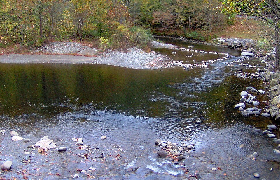
Every summer, vacationers staying in cabins around Townsend, Walland, and Maryville look at the crystal-clear mountain waters of the Little River tumbling out of Great Smoky Mountains National Park and ask: "Can I bring a recreational gold pan down to the Townsend 'Y' or Metcalf Bottoms and pan the creek gravel?"
If you remember only one legal fact from this guide, make it this one: Gold panning is 100% illegal anywhere inside Great Smoky Mountains National Park—even with a simple plastic hand pan! Fortunately, one of the most famous and legal gold-panning districts in the Eastern United States sits less than an hour's drive south of Maryville in neighboring Monroe County.
1. The Federal Law: 36 CFR § 2.1 (National Park Service vs. U.S. Forest Service)
Many out-of-state visitors confuse National Parks (managed by the National Park Service under the Department of the Interior) with National Forests (managed by the U.S. Forest Service under the Department of Agriculture):
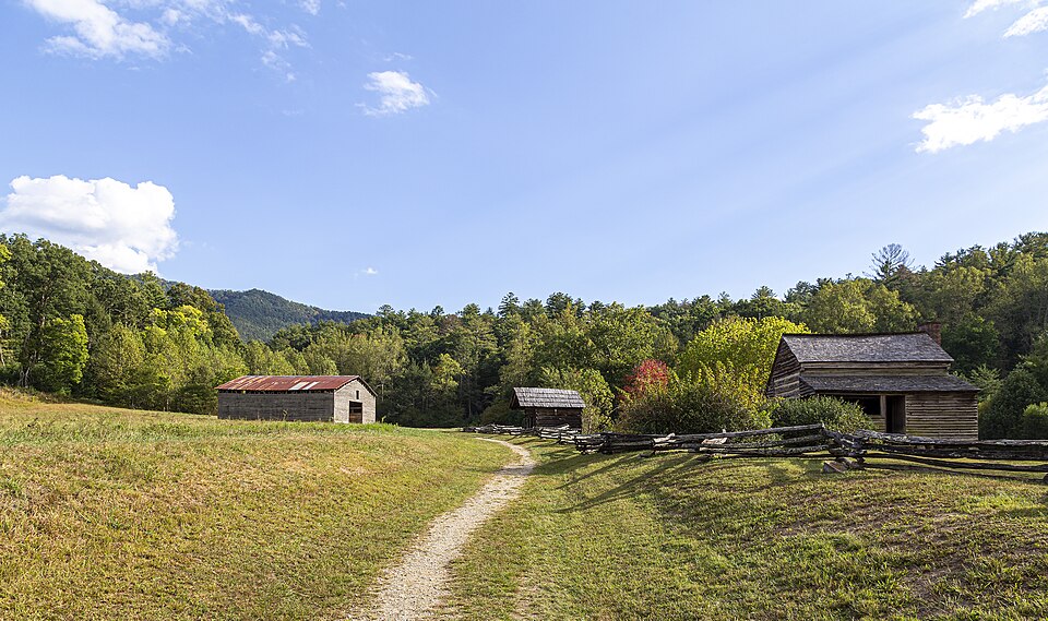
- Great Smoky Mountains National Park (Strictly Off-Limits): Under 36 CFR § 2.1(a)(1)(iv), the preservation of natural and geological features is absolute. Digging stream gravel, panning, rockhounding, or removing even a single pebble or flake of mineral from Little River (upstream of the park boundary at the Townsend "Y"), Abrams Creek in Cades Cove, or Hazel Creek is a federal offense.
- Cherokee National Forest — Tellico Ranger District (Legal Class 1 Hand-Panning!): Once you drive south out of Blount County into the Cherokee National Forest in Monroe County (managed under multiple-use USFS principles), recreational Class 1 hand-panning is explicitly permitted in designated streams like Lyons Creek and Wildcat Creek!
Heading to the Cherokee National Forest or Coker Creek? Pack a U.S. Forest Service Class 1 compliant hand-panning kit: the Garrett Deluxe Gold Panning & Classifier Kit, a Stainless Bedrock Crevicing & Snuffer Bottle Kit for cleaning slate cracks, and a Plunger Black Sand Magnet.
2. The 50-Minute Scenic Drive From Maryville to Coker Creek
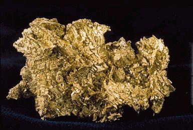
Not only is driving south from Maryville to Monroe County 100% legal for gold panning, the geology is also vastly richer in gold! While Blount County's northern Smokies streams contain mostly barren sandstone and trace pyrite, Monroe County's Coker Creek Gold District produced over 9,000 troy ounces of documented placer gold:
- From Maryville, take US-411 South through Greenback and Vonore to Madisonville (28 miles).
- Turn onto Tennessee State Route 68 South through Tellico Plains and climb into the scenic Coker Creek valley (22 miles).
- Stop at the Coker Creek Welcome Center on TN-68 for maps and trough panning, or take your Garrett gold pan and classifier sieve to designated Tellico Ranger District streams.
| Watershed / Destination | Distance from Maryville, TN | Gold Panning Legal Status | Geological Gold Potential |
|---|---|---|---|
| Little River / Abrams Creek (Inside GSMNP) | 15 – 25 miles | ILLEGAL (36 CFR § 2.1) | Trace only (Protected National Park) |
| Coker Creek Welcome Center (TN-68) | 48 miles south | LEGAL & Family Friendly | Guaranteed real gold in panning troughs |
| Lyons Creek & Wildcat Creek (Cherokee NF) | 50 – 54 miles south | LEGAL (USFS Class 1 Hand-Panning) | High — Historic 1827 Gold Belt |
Before packing your car, review our Blount-to-Monroe County Camping & Gold Panning Road Trip Guide and How to Read a Mountain Creek for Placer Gold.